The modern-day geologist deals with large amounts of data: remote sensing data (satellite image, airborne geophysics, drone surveys), traditional geochemical, lithological and structural data. Advancements in computer science allowed the creation of artificial intelligence (AI) applications in geology since the early 90’s. A lot of us were excited about the so-called expert systems, such as EXPLORER. Like everything in geology, some processes are fast and others take a lot of time, but continuous change is the only thing that is constant. The terminology for the computer applications in geology has a short, but rapid evolution. The name expert systems was replaced with knowledge-based systems, dynamic geological models, data mining, machine learning and so on. Software applications for geology have become huge and expensive, with multiple algorithms for almost everything from initial data collection to implicit geological modeling, different types of unsupervised and supervised classifications, data mining and simulations.
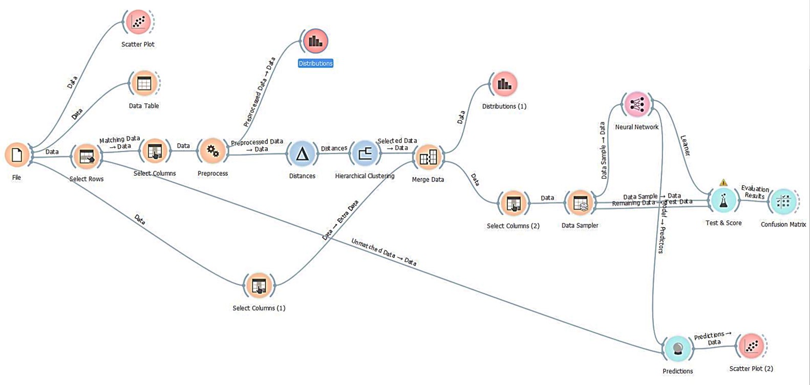
Source: Exercise from “Concepts and Application of Machine Learning to Mining Geoscience: A Practical Course”, Short Course PDAC 2019.
I hope we all agree that this “digital revolution” has made our work not only easier, but safer and much more productive. Most geologists involved in mineral exploration know about the IBM Watson®, ERDAS Imagine®, and other high-end software packages with built-in AI. Unnoticed, AI has entered our lives and currently we have pocket-sized computers that can tell us how to get home, what the weather will be, or create and spin 3D models of whatever we can imagine.
Recently, unsupervised and supervised learning (i.e., AI) was applied to an airborne geophysical dataset in combination with a limited amount of field exploration data from the Batouri area of eastern Cameroon. The area has seen very limited mineral exploration and the exploration team was looking for anything that could be useful for early-stage exploration in an underexplored area. The expensive software packages are unattainable for a junior exploration company, independent freelance geologists or even for small consulting companies. However, we are very lucky that in the 21st century there are open source computer programs. Personally, I have recommended the use of free, open source software (FOSS) for core logging and GIS to many friends and clients, during the times when the juniors were struggling for financing. I have to admit that for some tasks I prefer to use QGIS than other software packages, because it is user friendly and it is free.
Open source software packages for machine learning and AI, such as Orange® (https://orange.biolab.si ) developed for biomedical data processing do exist. During the Covid-19 pandemic we have heard about dynamic monitoring, computer models, valuations, and predictions. A lot of other algorithms developed initially for medical purposes, including 3D medical imaging and data processing, have been adopted by software developers and are now used by geologists and mining engineers daily. Unsupervised classifications, supervised classifications (Random Forest, Neutron Network) and other machine learning models, developed for data processing in other industries, find application in mining huge datasets of geoscience information. Several workshops during the PDAC’s training sessions in 2019 and 2020 demonstrated that Orange® can be used successfully for machine learning and AI data processing of exploration data.
The big question is: will the exploration and mining community, and their investors, trust the results from open source AI software?
Please feel free to express your opinion the comments below.
I think the answer is ‘Probably not’. Working in an observational and often subjective science, geologists are prone to misidentifying or misrepresenting their ‘facts’. As far as I’m aware, current AI systems tend to take these in-puts at face value, aside from basic error-checking. We need an AI system that can query the validity of observations that it identifies as suspect, and guide the geologist to actions (surveys, tests …etc) that will improve certainty, thereby reducing risk. The AI system needs to be informed at local and regional scales, and obviously the data load and processing demands would be significant, and may be out of reach for the explorationist on site. I doubt there’s an ultimate answer readily at hand, and for the foreseeable future, AI will be just another tool that is available. I think most explorationists want to be be deeply involved in the development of project concepts, and giving over the thought process to an AI system is going to be difficult, whether it is proprietary or open source in nature.
Hi Al,
thanks for your comment. Yes, AI is just a tool, it would be nice if we don’t have to pay tons of money. As any other tool it can make our data processing and interpretation a little bit easier and show us information that is difficult to obtain without them. It would be nice if it is accessible for more people.